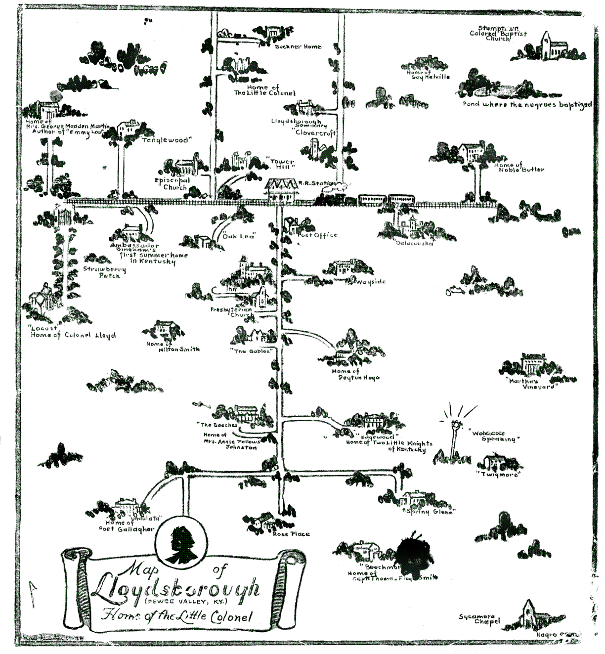
Map of Lloydsboro Valley
This map of Lloydsboro Valley dates to the early 1930s.
It was done by residents of the valley to assist Hollywood for the 1935 Little Colonel movie. This map is a mixture of the story locations and other Pewee Valley Kentucky landmarks. Though not a true map of the real Pewee Valley, most of the spatial relationships are reasonably correct in a general sort of way. This map also served as the basis for the board of the Little Colonel game, which came out at about the time of the movie. (double click on the map to see enlarged version)

Map created for the Little Colonel movie in 1935
(double click on the map to see enlarged version)